5 YORK RD
Owner Information
CLARK JOHN R + SARAH
5 YORK ROAD
WINCHESTER, MA 01890


Property Details
5 YORK RD is classified as a Single Family Residential (Colonial).
The primary structure on this property was built in 1951. There are 7,843ft2 of built area within this property. There is 7,843ft2 of residential/living space within this property. This property is listed as having 14 rooms.
5 YORK RD is valued at $2,017,200. The land is valued at $634,400 and the structures are valued at $1,382,400. There is an additional valuation of $400 on this property.
This property is in Zone RDB. Confirm with local Zoning Board authorities to ensure there are no overlays or other easements on this property.
5 YORK RD was last sold on Tuesday, September 6, 2016 for $1,890,000.
Assessment data from fiscal year 2021.
Flood Data
According to the FEMA National Flood Hazard Layer, this property does not appear to be in a flood zone. It may also be in an area not yet reviewed. Nonetheless, confirm this information prior to taking any action.
To view the flood hazards around this property, create a FEMA "Firmette" Map of the area around 5 YORK RD.
Broadband Internet Providers
| Provider | Type | Bandwidth (mbps) | |
|---|---|---|---|
| HughesNet | Satellite | 25 | 3 |
| Verizon New England Inc. | Fiber | 940 | 880 |
| Viasat Inc | Satellite | 100 | 3 |
| GCI Communication Corp. | Satellite | 0 | 0 |
| Comcast | Cable | 1000 | 35 |
| VSAT Systems, LLC. | Satellite | 2 | 1 |
Broadband service provider data from December 2020.
Adjacent Properties
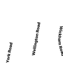
- 7 YORK RD
Single Family Residential owned by MARX NOMINEE TRUST - 3 YORK RD
Single Family Residential owned by HURLEY MATTHEW ET AL REV TR - 44 GROVE ST
Single Family Residential owned by RAHIMI KIANOSH + AZIN ZARRASVAND - 48 GROVE ST
Single Family Residential owned by LOONEY MARY ALICE IRR TRUST - 50 GROVE ST
Single Family Residential owned by CAVANAUGH LEO ALISON